localthings as an alternative to uMap
uMap is a capable free and open-source map builder with a graphical editor, styling, embeds, layers and broad geospatial import options. localthings is the narrower managed product for publishing a structured location directory in your branding.
- Choose uMap for a free, open-source editor that draws pins, lines and polygons, imports geospatial formats and can be self-hosted.
- uMap can style markers, cluster points, show layers and data filters, add media, and publish by link or embed.
- Choose localthings for a managed location directory with an opinionated list view, categories, visitor filters and structured location cards.
- localthings publishes a permanent link on Free; embedding starts on Basic, a custom domain is Premium, and branding removal is Custom.
localthings vs. uMap
A factual comparison on the points that matter to most people.
| Feature | localthings | uMap |
|---|---|---|
| Public link and website embed | Link on Free, embed from Basic | |
| Open source | ||
| Graphical editor without code | ||
| Pins, lines and polygons | Pins and closed areas | Pins, lines and polygons |
| Styling, icons, pop-ups and media | ||
| Browse and filter published data | List, categories and filters | Data browser, layers and facets |
| Bulk data import | CSV, JSON or pasted rows | CSV and geospatial formats |
| Automatic point clustering | ||
| Managed service and product support | Depends on the chosen instance | |
| Self-host the software |
When uMap is the right call
Choose uMap when open source or self-hosting matters, when you need lines, polygons, heat maps or broad geospatial formats, or when its free community-hosted instances fit your project. Its graphical editor does not require code.
When localthings fits better
Choose localthings when the deliverable is a branded directory of places and you want hosting, product support, a list beside the map, consistent category filters and structured location cards without running an open-source map service yourself.
16,988 points in one visitor experience
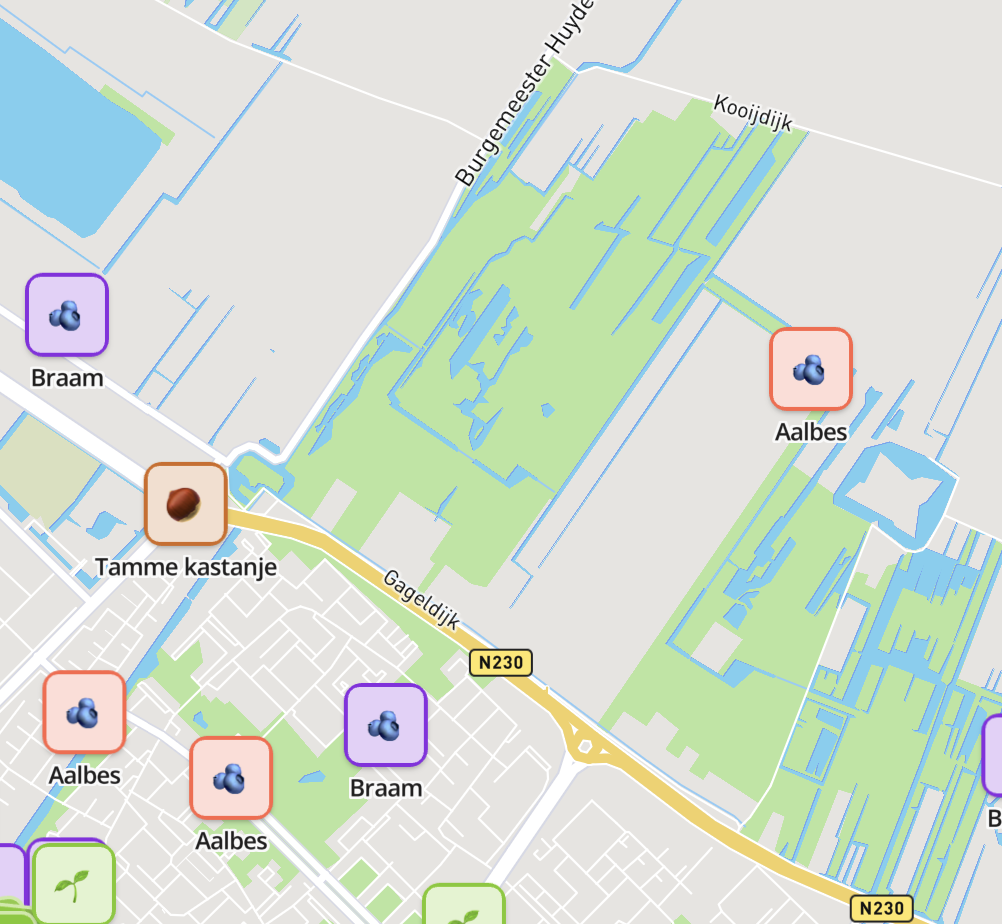
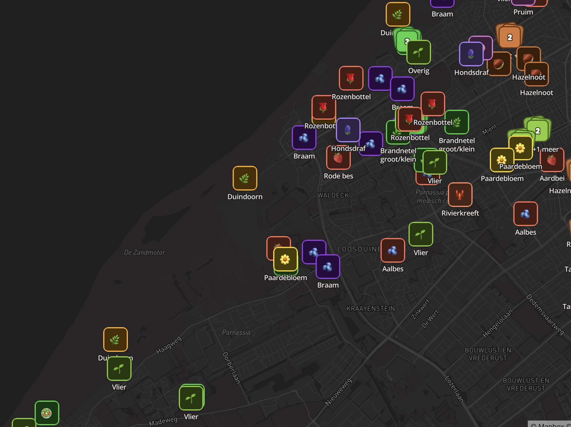
This published localthings map turns nearly 17,000 open-data points into a category-driven map and list. It shows the managed public experience described here, not a capability that uMap lacks.
- 16,988 points across 8 categories.
- Visitors switch categories on and off instead of scrolling everything.
- Points cluster automatically until you zoom in.
- The same public link stays current when the underlying map changes.
Frequently asked questions
Does localthings use OpenStreetMap data?
The base map styles are commercial, and several of our public maps are built from open data including OpenStreetMap. Your own locations are your own data.
Can I import a uMap export?
Convert the GeoJSON export to a CSV with one row per location and import that. Addresses are geocoded on import if you do not have coordinates.
Why pay when uMap is free?
You may not need to. uMap is a strong choice when open source, broad geometry support or self-hosting matters. A localthings plan buys the managed directory workflow, product support and, depending on the plan, embedding, analytics, branding removal and a custom domain.
Is uMap a no-code map builder?
Yes. uMap's own project site describes a graphical interface that needs no code. Self-hosting and deep instance customisation are technical, but creating a map on a hosted instance is not a coding task.
What is the free plan?
Free includes one map with up to 100 visible locations and a permanent link. Embedding starts on Basic; a custom domain and analytics are Premium; branding removal is Custom.